
| OS Route Map → |  |
GPX Route file → |
Date: 10 Aug 2026
Start: Ribblehead / Finish: Garsdale Station.
Maps: Explorer 002: Yorkshire Dales Southern & Western areas + 019: Howgill Fells & Upper Eden Valley.
| Day 1 | Blea Moor | 3.1miles / 838 feet (5.0km / 255m) |
| Day 2 | Wold Fell & Great Knoutberry Hill | 5.1miles / 1266 feet (8.2km / 386m) |
| Day 3 | Galloway Gate | 3.8miles / 179 feet (6.1km / 55m) |
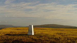
A relaxed 3-day route of the hills north of Ribblehead using stations on the Settle-Carlisle rail line.
The outward line visits the Grade II listed Ribblehead viaduct and ascends via the line of the rail tunnel towards Blea Moor, a new Dewey 500m top.
The route then descends through the Mossy Bottom forest and joins the Pennine Bridleway (PB) over the shoulder of Wold Fell to Arten Gill Moss for a final climb to Great Knoutberry Hill.
The return descends to rejoin the PB along Galloway Gate and down to Garsdale station.
This was our first visit to Ribblehead and first journey on this famously scenic rail line, a fine way to start the trip.
The relentless arid weather of this summer continues with no real sign of relief and this trip, like the last, was timed to end just before the onset of another 30°C+ heatwave driven by hot air moving north from France. On that last July trip to the Tarrens, we were taken aback by the near-disappearance of normally very reliable water sources and we were lucky to find our anticipated main source running just enough to fill our bottles. Once again our main source was running but, as expected, we had to carry a large weight of water.
The track from the station to Ribblehead Viaduct was fairly busy as we set off in a quite chilly wind. Seeing the top stone inscribed "1875", these old marvels of Victorian engineering are always so impressive close to hand, especially so when we remember they were built almost entirely with manual labour, in this case by over 2000 men.
The well worn path continues via Bleamoor Sidings to the foot of Little Dale. Here the main path branches left at the aqueduct heading for Whernside, our route was northwards towards the line of the rail tunnel.
A big surprise here: Little Dale Beck, a wide stream that rises high on the moor with a substantial footbridge of its own, was virtually bone dry, just a few tiny still puddles among the stream bed rocks. The drought situation was evidently even worse than we thought, however just a few metres away the more powerful Force Gill was still flowing well.
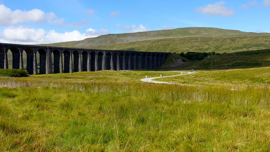
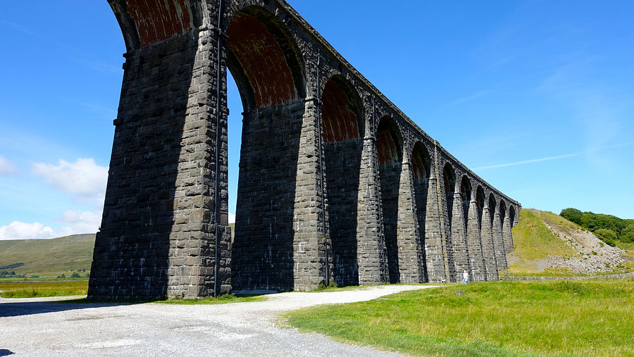
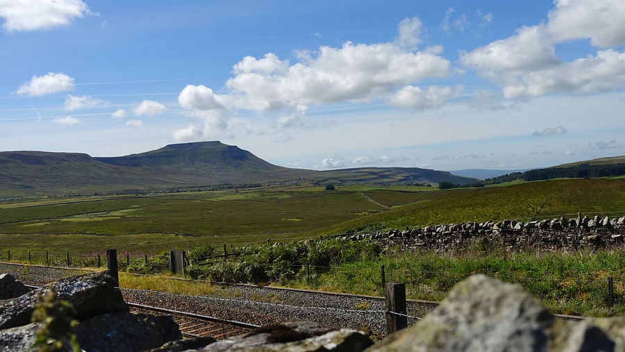
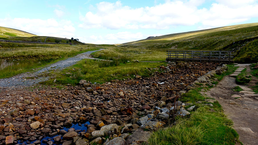
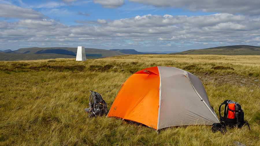
We crossed the footbridge and joined the good track on the east of Little Dale Beck and soon reached the first rail tunnel airshaft fenced by metal railings. A short ascent gains the second airshaft marked by a cylindrical brick tower and just beyond, we set off eastwards on the final climb to Blea Moor. There is a vague intermittent line of an old quadbike track to assist and we reached a long narrow rib of outcropping rock where the white trig point peeps out above.
We made our pitch here quite early and enjoyed a relaxing evening with a good view of the surrounding hills. It was 12 years since our last visit to the Yorkshire Dales and we struggled a bit to place them all.
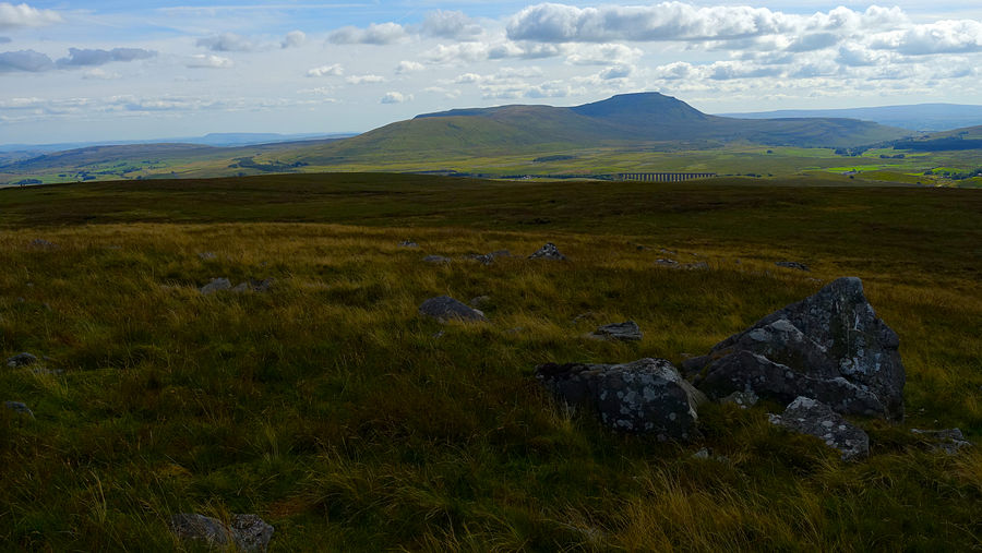
The early sun threw a warming glow across the summit area as we took the thin path from the trig point along the edge of the rocky rib with a good view of the boggy shelf below and its persistent pools. At the rocks of Crag Side the line descends along the fence back to the tunnel track and thence down to another airshaft. This is where we diverted to pitch in 2002 on our Dales Way backpack but the site is a lot rougher now.
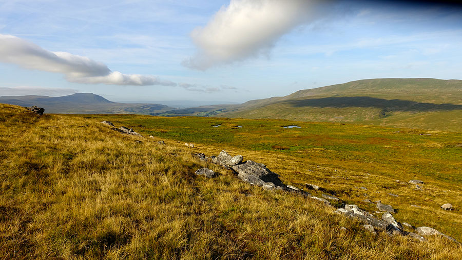
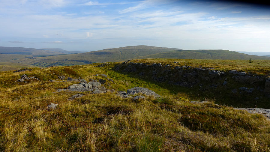
Continuing the descent to the Mossy Bottom forest, a working plantation and much of it now felled since our last visit, the owners urge everyone to keep to the public footpath straight ahead and display warning notices either side on the forest road. The area seemed deserted today and we were counting on a promising water source within. We hurriedly took the forest track eastwards towards the spot and indeed it was running very well considering the drought conditions. We filled our water bottles and extra water container and continued at a slow laden plod out to the minor road.
Wold Fell lies dead ahead and the road ascends south-eastwards around its flank, forming part of the PB, Dales Way and Ribble Way. At Stoops Moss we left the road on the PB northwards towards the top. Where the PB track levels out, a short diversion gains the flat expanse of the summit plateau at a height of 559m. The 558m spot height a short way away has a curious detached segment of stone wall with an area of exposed flat limestone pavement that the sheep apparently use as an array of warming solar panels. The whole plateau appears to be vegetated limestone pavement hiding many little fissures and holes that merit care and sure footedness.
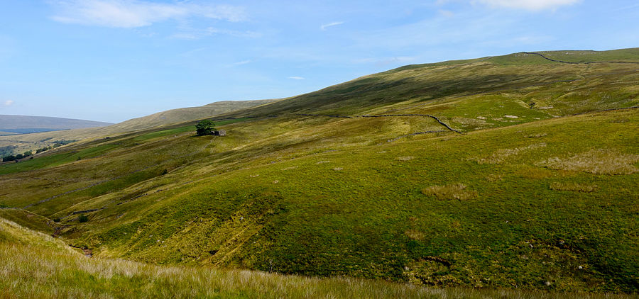
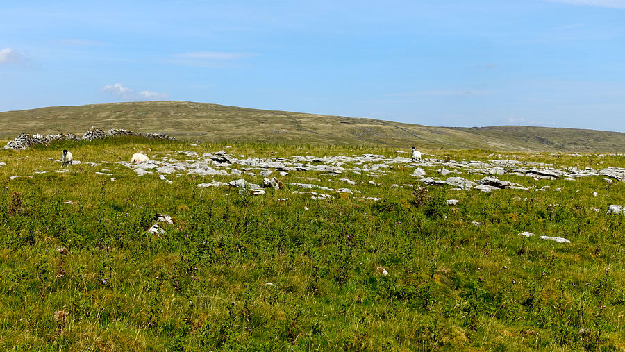
The PB track is easy walking with fine Dales scenery, descending to Arten Gill Moss where we left it to join the traversing path over Great Knoutberry Hill. The cooling breeze was welcome on the climb but became quite strong as we approached the trig point and surveyed the area for a pitch. The triangle enclosed by the stone wall and adjoining fences yielded a very good spot with some shelter from the wind and complete with a stone-built back-to-back seat and side tables.
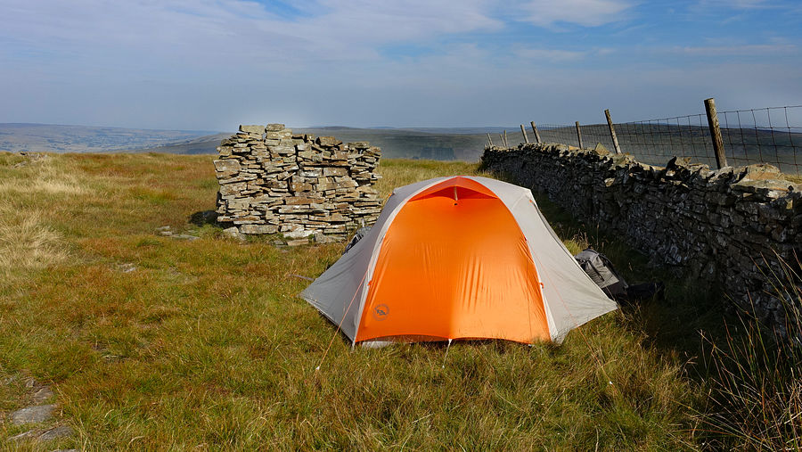
Another fine morning and we had a decision to make: whether to continue on the easy traversing path to rejoin the PB at the minor road, or take a more scenic and interesting but pathless route via the Widdale tarns to join the road farther along. We have walked out to those tarns before, but that was a very long time ago when we could take just about any rough terrain in our stride: today we chose not to risk it despite the quite short distance and continued on the good path.
It was no big loss, the descent to the PB was most enjoyable with more great views including the Three Peaks.
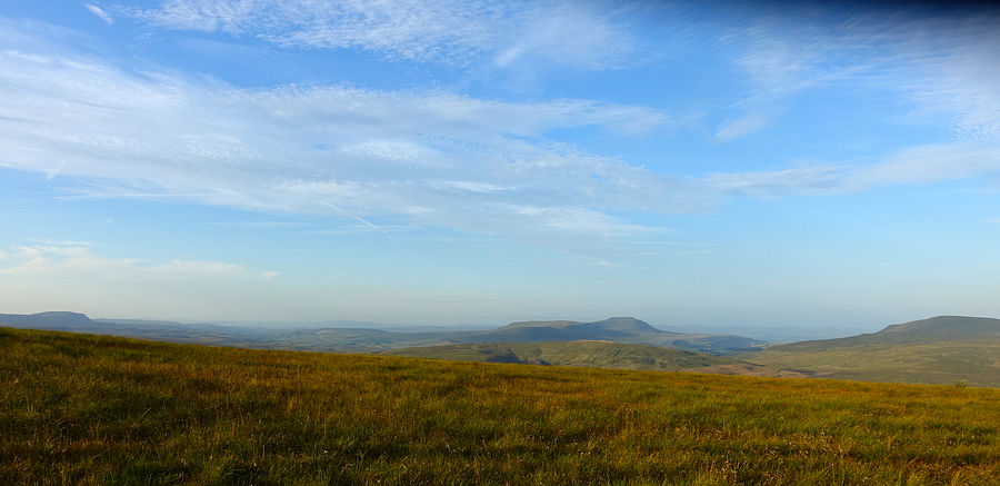
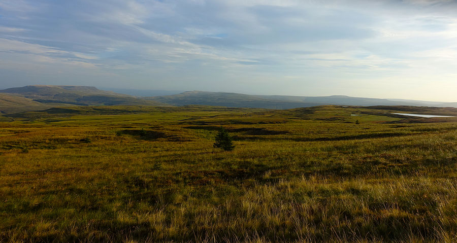
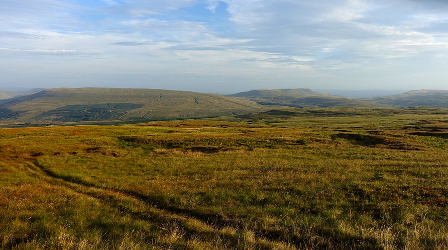
Progress was rapid along the PB road into Garsdale with fine Dales scenery and we made the earlier train back to Leeds.