
| OS Route Map → |  |
GPX Route file → |
Date: 24 Aug 2026
Start / Finish: Marsden station.
Maps: Explorer 021 South Pennines.
| Day 1 | March Haigh, Green Withens & western Rishworth Moor | 8.3miles / 1548 feet (13.4km / 472m) |
| Day 2 | Eastern Rishworth Moor, Deanhead Moor & Slaithwaite Moor | 6.6miles / 888 feet (10.6km / 271m) |
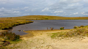
A 2-day circuit around the moors and reservoirs to the north-west of Marsden.
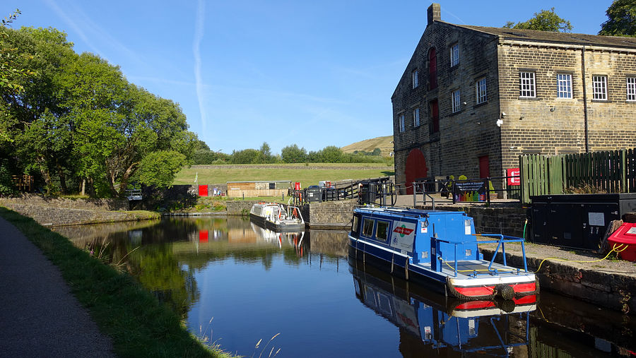
The outward section initially follows the Huddersfield canal, with an option of a parallel woodland track, to Standedge Tunnel Visitor Centre and Tunnel End nature reserve to reach Close Gate Bridge, an old arched packhorse bridge. It ascends into the March Haigh moorland via Willikay Clough to join the Pennine Way (PW) over White Hill, the highest point of the route, to cross the M62 where it leaves the PW to reach Green Withens reservoir and ascend to the western side of Rishworth Moor.
The return section descends the eastern side of Rishworth Moor to recross the M62 via Booth Wood reservoir and traverses the high ground via Deanhead and Cupwith reservoirs to Slaithwaite Moor for a final descent via Marsden Moor.
The Standedge Tunnel, Britain's longest, deepest and highest canal tunnel is another feat of Victorian manual engineering and carries the Huddersfield Narrow Canal. The Visitor Centre celebrates its history and organises narrowboat trips into its tight depths. The small but delightful nature reserve eliminates some road walking and exploring it all would make a good half-day out.
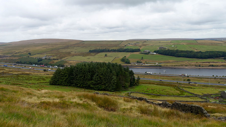
We encountered just a few walkers on most sections of this route, the exception being Rishworth Moor that was totally deserted. This windswept rough grassland seemed particularly bleak on this very blustery trip and there is also the small distraction of the distant traffic hum from the M62 which, though monotone and can easily be tuned out to a large degree, is still there in the background.
From the station we crossed the road bridge to the south side and turned right along the short residential road to gain the canal access point. The towpath reaches a fork giving the options of continuing by the canal or a parallel woodland path: we chose the latter for a very pleasant walk among the trees. Later though we hit a dead end: the path was clear to this point and many people had evidently done the same. We backtracked a short way and spotted the steps back down to the canal.
Around the Tunnel End Visitor Centre, the map shows many lines but the pedestrian line to ascend to Waters Road isn't any of them, it uses a surfaced footpath directly up the grassy hillside as shown on our OS map. We soon left the road via a gate into the small Tunnel End nature reserve, part of the Standedge Trail, an attractive path that rejoins the road later and soon reaches Close Gate Bridge, an arched packhorse construction.
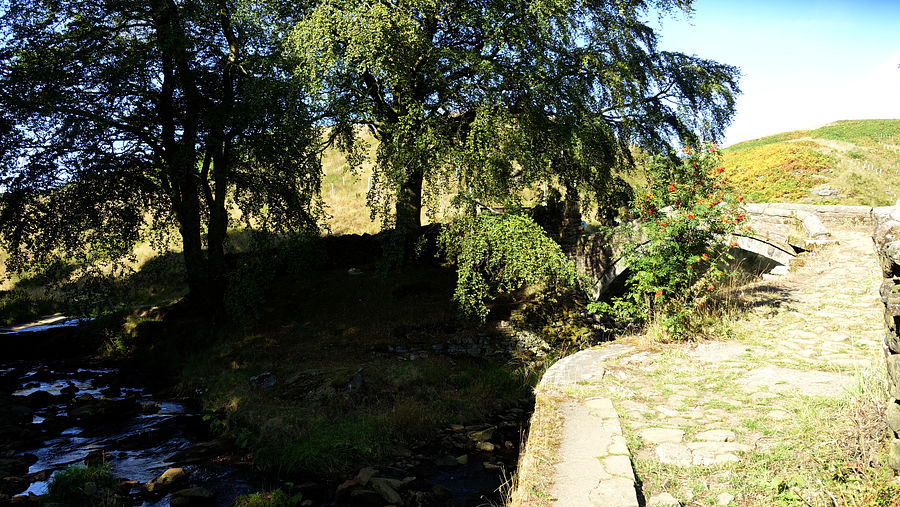
The bridleway ascending into Willikay Clough is paved for some of its length and gives easy walking, climbing to Willmer Green Clough and joining the PW at the A640 road. This fragment of the PW that traverses White Hill and crosses the M62 was used on our windy Greenfield to Hebden trip, the easterly wind was strengthening today too, as forecast, and we held on to our buffs across the M62 footbridge. This section was deserted today.
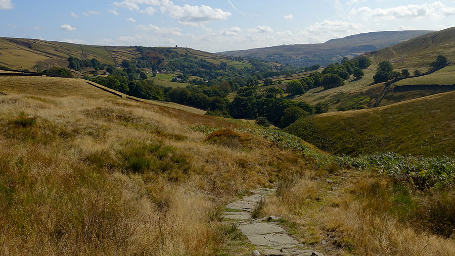
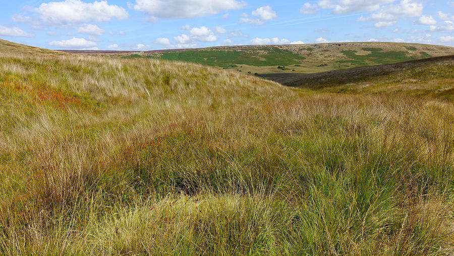
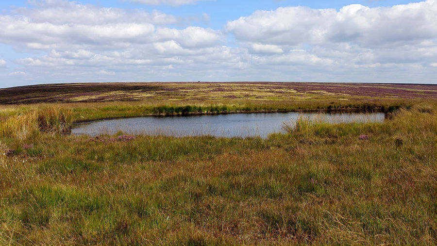
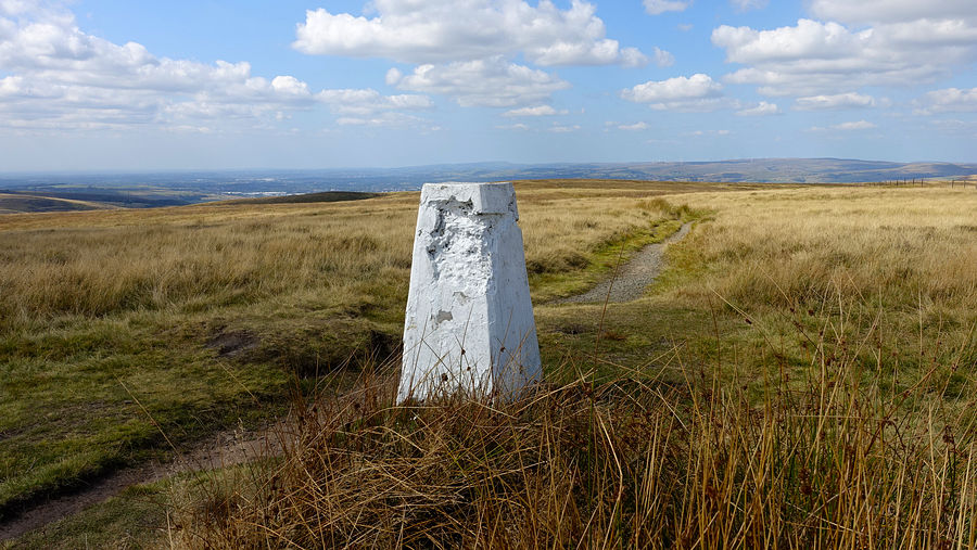
Across the M62 we left the PW for the leat path around to Green Withens. Here we met a couple of falconers with their hooded hawk calmly perched on a gauntleted forearm, the first time we have seen them on our walks.
The heather was in full bloom on nearby Lodge Hill adding a blaze of colour to the scene as we approached the reservoir, another victim of the drought this year with all the stonework and much of the bed exposed.
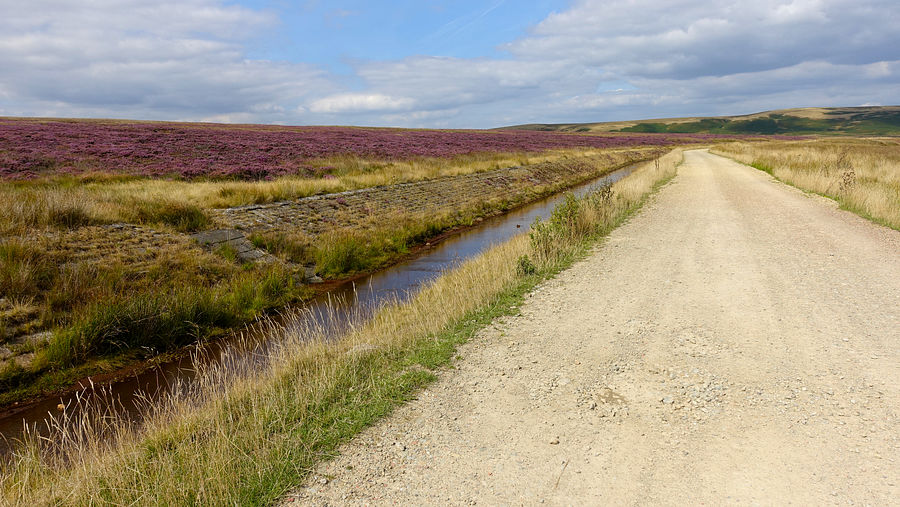
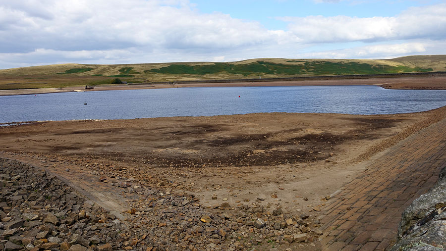
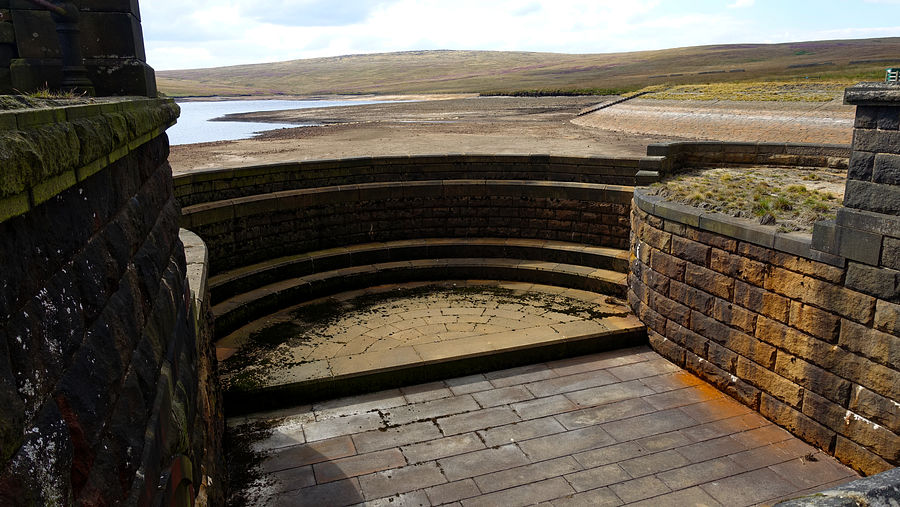
On the northern side a path starts at a bridge over the leat, ascending to Green Withens Edge on the windswept Rishworth Moor. From the 434m spot height, the 435m trig point on Dog Hill is visible and there is a trodden line eastwards that seems at first to be bypassing the hill but later swings around to the summit.
The surrounding terrain deteriorated on approach, but we found a very good patch near the trig point and we made our pitch despite the quite strong easterly wind. We had wisely brought our Exogen tent that gives better wind stability than our Big Agnes.
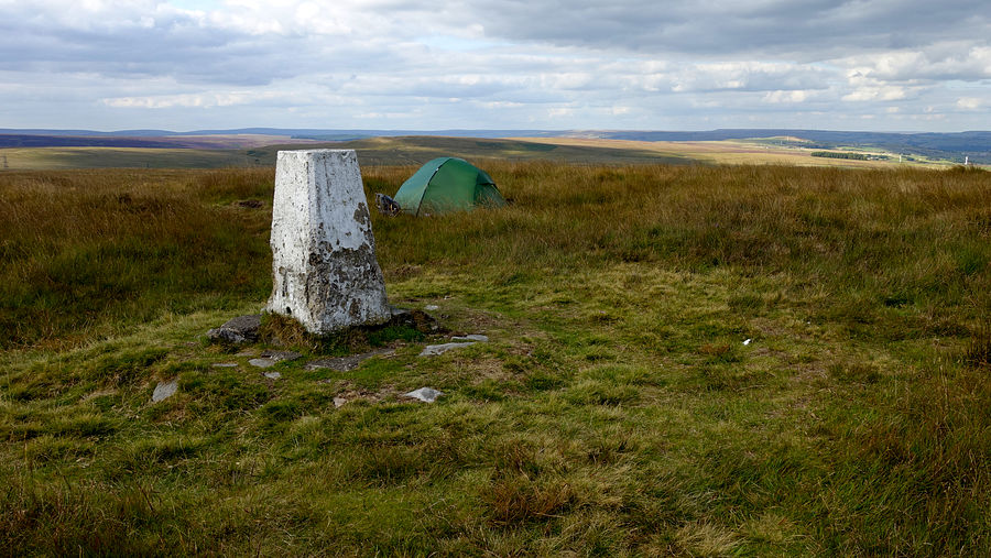
For the first time in ages we peeped through the tent door to see windblown mist down around us. In the night the sky had been clear with the distant motorway lights and headlamps twinkling brightly.
A couple of paths depart from the trig generally eastwards, we chose the more southerly heading SSE that descends to the 'Blackwood Edge Road' path as displayed very prominently on the map and leading to expectations of a good worn track. It isn't actually, the line is clear enough but not nearly as good as expected from the depiction. It heads east through the featureless grassland past the ruins of a dwelling or shepherd hut to meet the Pike End Gate path whose start is a little farther along than shown on our mapping. We took this path and it soon joins the mapped line and remains true, finally following the northern side of the wall in Access Land. The line meets the public footpath coming down from the north and crosses the stout wall via an almost invisible built-in step-stile (no waymark and easily missed).
The footpath descends via Boan Cottage to the Grade II listed Rishworth Lodge and out to the A672 road, the depleted Booth Wood reservoir fleetingly in view. We descended the lane opposite into Booth-Dean Clough below the dam wall.
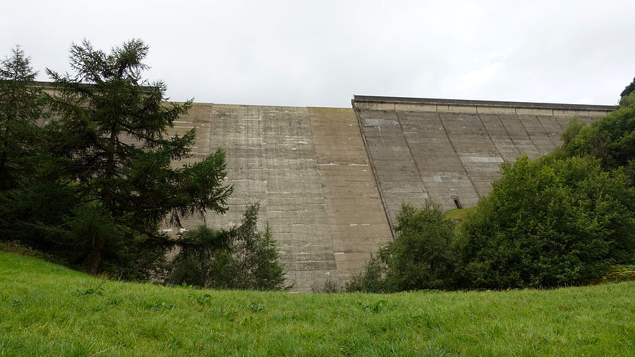
The mist had cleared as we ascended via the lane and the drive to Stott Hall Farm, a waymark indicating the footpath to a pair of M62 underpasses and onto the track to High Moss. Scrappy paths climb near the wall to the disused Grey Stone Quarry with a view over the M62 back to Dog Hill. Here we met a very friendly and talkative old chap who had parked on the nearby B6114 Saddleworth Road and was there for a brief session of rest and quiet contemplation: this windswept spot so close to the M62 wouldn't be our choice for the purpose, but the hills always have something to offer everybody.
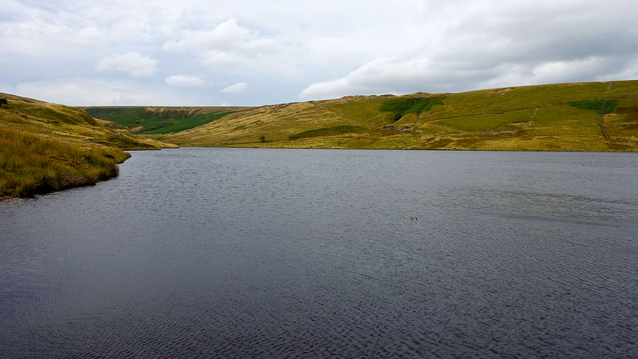
Across the B6114 road is the footpath descending to Deanhead Reservoir. At the point labelled 'Mosses' on the map, the terrain deteriorated a lot into rough vegetated ditches. Other walkers had clearly become exasperated with it and established a good line directly down the steep slope as shown on our OS map. The view expanded to include Scammonden Water to the north-east.
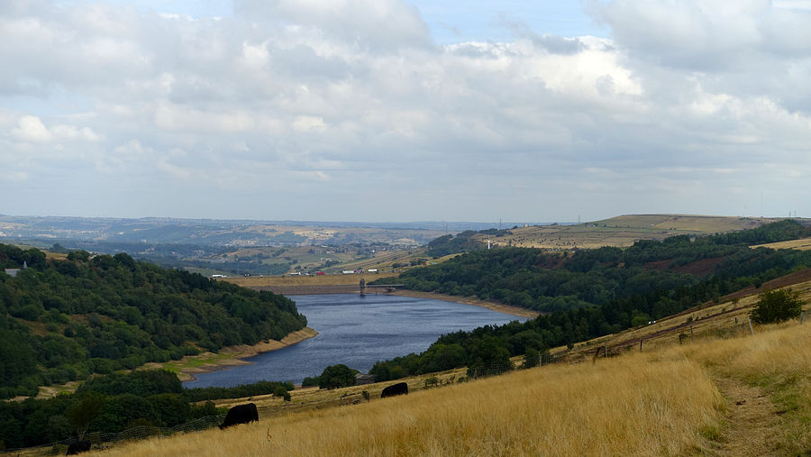
From Deanhead dam the final climb out gains Watermans House and the A640 road. A short way along is the good track onto Slaithwaite Moor and Cupwith reservoir ("Slaithwaite" is pronounced 'Slow-eet' with the 'ow' as in cow, at least according to the station announcements in Manchester).
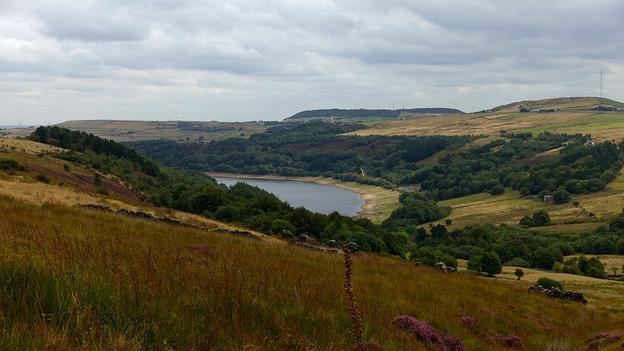
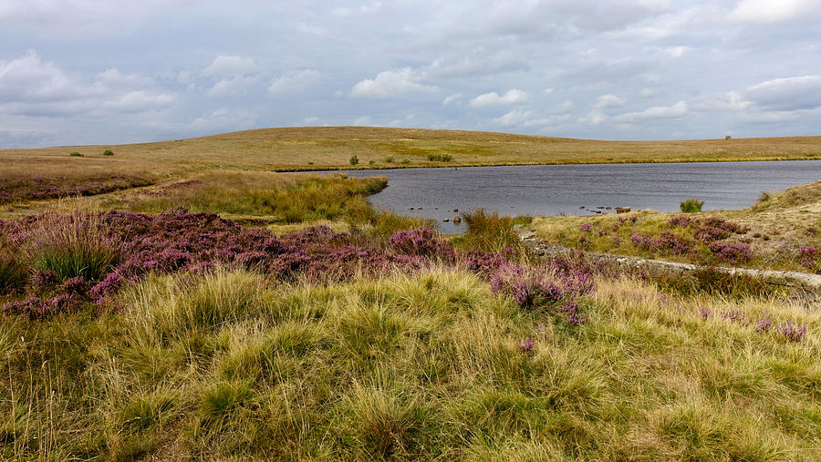
By now the sun had emerged and Cupwith reservoir presented a colourful heather display.
The good path joins the Kirklees Way and descends through the National Trust property of Netherwood Heys, finally joining footpaths steeply down into Marsden and emerging at the station.